If there is one sure way to end up in a survival situation, it's getting lost in the wilderness. Our Land Navigation training will give you with a working knowledge of land navigation skills that will provide you with the freedom and confidence to travel the wilderness whether on- or off-trail.
Our Land Navigation program of training is designed as a series of progressive courses as follows:
- Level 1 - Knowledge & Skills (Map, Compass, GPS)
- Level 2 - Navigational Aids & Techniques
- Level 3 - Advanced (Natural & Night) Navigation
Navigation training is survival prevention
Survival training is first aid prevention
First Aid training is suffering prevention.

Land Navigation - Level 1

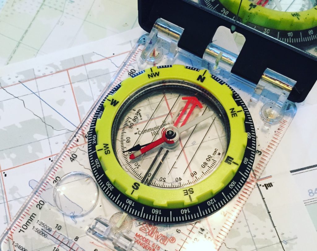
Level 1 instills the foundation of knowledge necessary for Land Navigation. We will learn how to read and interpret Canadian Topographic Maps, effectively use a compass, and access the Global Positioning System (GPS) for verification and back-up of our skills.
Syllabus (includes but not limited to)
- Importance of Map care and maintenance
- Reading and Interpreting a Map
- Plotting a position on a Map (Lat./Long., UTM, MGRS)
- Compass Theory
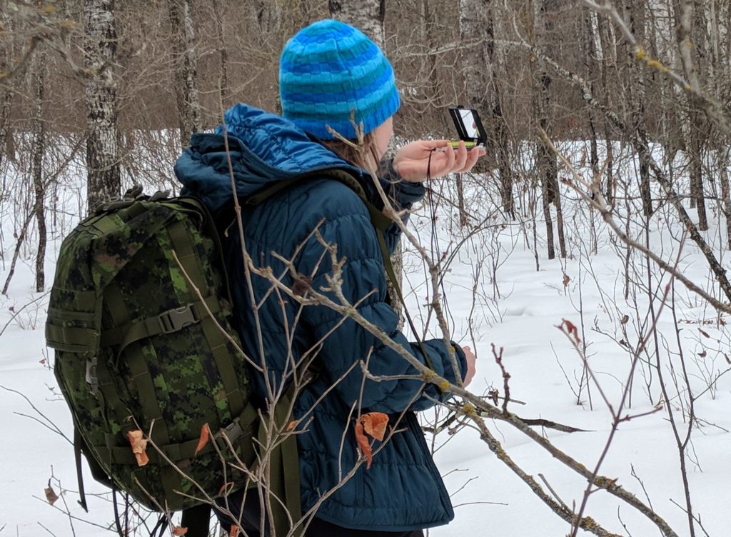
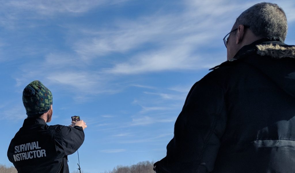
- Sighting and Setting Bearings
- Law of Parallax and Lateral Drift
- Declination
- Plotting a route on a map
- Measuring distance both on the map and on the ground
- Use of a GPS Receiver to aid traditional navigational skills
Prerequisites: None
Duration: 2 full days
Maximum Instructor to Participant Ratio: 1:6
Cost: $300 + tax
Land Navigation - Level 2

Level 2 builds on the foundation of skills learned in Level 1 with additional techniques and their practical application to enhance one's ability to navigate across an unknown landscape.
Syllabus (includes, but not limited to)
- Types of Navigation
- Terrain Association
- Obstacle Maneuvering
- Triangulation Baselines & More!
- Route-planning
Note: it is expected that you already know all the skills from Level 1, although the instructors will provide assistance there will be no review session.
Prerequisites:
- LandNav1 recommended (there will be no review of foundational knowledge)
Duration: 2 full days
Maximum Instructor to Participant Ratio: 1:6
Cost: $300 + tax
Land Navigation - Level 3

Level 3 takes all the skills previously learned and puts them to the test on a 2-day overnight trip into the wilderness. In addition, some additional topics will be covered as listed below.
Syllabus (includes, but not limited to)
- In-field Route Selection
- Safe overland travel
- Natural Navigation
- Night Navigation
Prerequisites:
- LandNav2 required (or equivalent skills)
- Wilderness Safety & Survival 1 required (Level 3 recommended)
- Standard First Aid required (Wilderness recommended)
Duration: 2-day wilderness trip
Maximum Instructor to Participant Ratio: 1:4
Cost: $350 + tax
